Find your beach.
Search 79 beach and coastal-area records in the Mexican Caribbean, select a marker, and inspect the estimate for that location.
Mexican Caribbean · Public beta
Sargassum changes. Your plans can, too. We’re building a clearer way to understand the shoreline, compare beaches, and see what supports an answer.
Open the beach map
Rough estimates for 79 beaches.
Low confidence · Not confirmed shoreline observations.
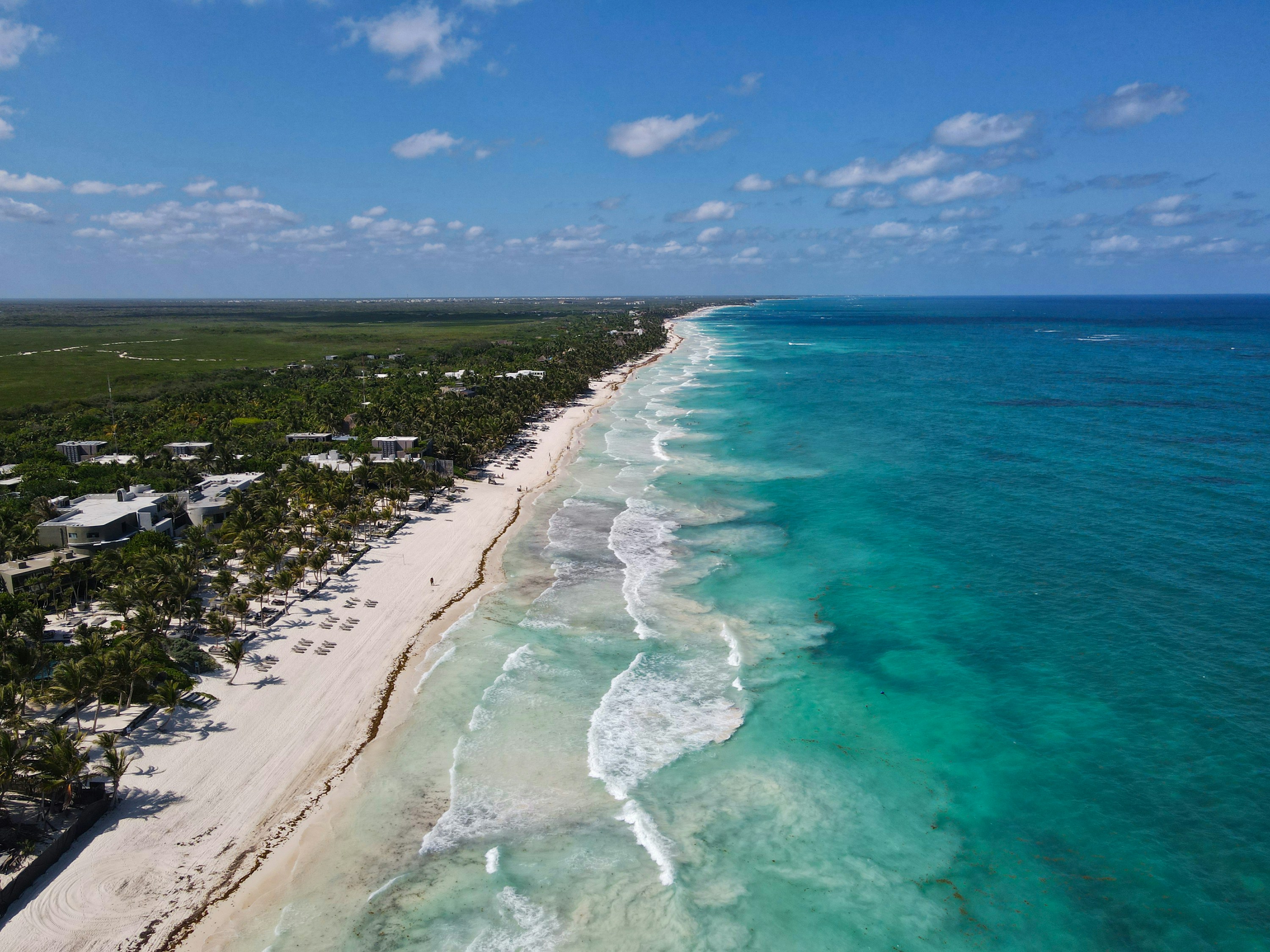
What we are building
Conditions + confidence + contextA regional signal can help explain the bigger picture. It cannot, by itself, tell you what has washed onto one particular beach.
Search 79 beach and coastal-area records in the Mexican Caribbean, select a marker, and inspect the estimate for that location.
Dated regional reports, rough estimates and confirmed observations remain distinct. Missing evidence must never mean a clear beach.
Look for source dates, location and confidence. Sparse evidence calls for caution; yesterday’s regional report is not today’s shoreline observation.
Before you explore
The public beta shows rough, low-confidence estimates using dated regional evidence and coastal assumptions. Open “Why” to inspect the sources and their age. These estimates are not confirmed observations at an individual beach.
No. Neither a sargassum estimate nor a lack of reported sargassum establishes swimming safety. Follow local flags, closures and official advice.
The beta does not provide a validated forecast. Future trip-planning views must distinguish seasonal history from predictions for a particular day.
Sargassum Check is the first focused product surface of BeachSignal, a Terra Continua product. It has its own website and focuses on the sargassum question.
Less guesswork starts with context
Public beta · Estimated · Low confidence